presoshop
Map of Alaska (U.S. State)
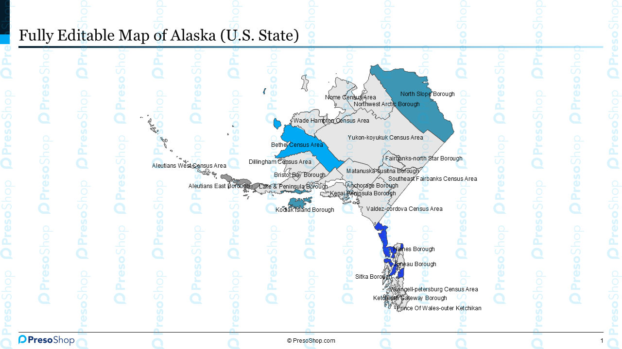
Map of Alaska (U.S. State)
Couldn't load pickup availability
Editable PowerPoint Map of Alaska for Corporate Presentations
Professional, Fully Editable Alaska Map for PowerPoint
Download this fully editable PowerPoint map of Alaska and add polished, presentation-ready geographic visuals to your next slide deck. Built entirely from vector shapes inside a standard PPTX file, this Alaska map template gives you complete control over colors, labels, and layout without requiring any design software. Simply open the file in Microsoft PowerPoint, make your changes, and present with confidence.
Built for Corporate and Business Presentations
This Alaska PowerPoint map is purpose-built for professionals who need clean, on-brand slides for client meetings, board updates, internal reviews, and investor presentations. Every county in the state is a separate, selectable shape, so you can recolor individual regions, add data labels, or isolate specific areas to match the story you are telling. Use it to present regional sales performance, illustrate market coverage, support territory planning, or visualize demographic and economic data across Alaska.
Who Should Use This Alaska Map Template
This editable map is ideal for management consultants, strategy teams, investment bankers, private equity analysts, real estate professionals, and anyone who regularly builds PowerPoint decks for executive audiences. If your work involves presenting Alaska-specific data at the county or city level, this template will save you hours of manual design work and deliver a result that looks sharp and professional every time.
Seamless Compatibility with Microsoft PowerPoint
The Alaska map template works with PowerPoint 2010 and all newer versions. It drops directly into your existing corporate slide templates without breaking formatting or fonts. No plugins, no additional software, and no learning curve. Open, edit, and present.
Key Features of the Editable Alaska Map
Fully Editable PowerPoint File in PPTX Format
Every element in this map is a native PowerPoint shape. Customize the entire slide or individual counties directly inside PowerPoint.
Individual Counties as Separate Shapes
Select, recolor, resize, or label each county independently.
Corporate-Ready Design
Clean lines, neutral styling, and professional typography make this map ready for consulting decks, financial presentations, and executive briefings right out of the box.
Perfect for Business and Strategy Slides
Use this map for market analysis, regional breakdowns, territory planning, site selection, sales reporting, and geographic data visualization.
Product Highlights:
- Number of slides in this file: 3
- File type: PPTX
- Compatibility: PowerPoint 2010 and higher
- Operating System: Windows 32/64 bit
- Slide size: Wide screen (16:9)
- Design style: Corporate
- Fonts used: Georgia, Arial
- Further customization option: Available on request at additional charges
- Typical turnaround for customization: Two business days